
Mapping & Geographic Intelligence
Analyse coverage, interventions, risks, and performance by geographic zone.
Book a consultationFor operations involving logistics, retail hubs, or regional field assets, geography is a critical dimension of performance. Static spreadsheets fail to reveal spatial opportunities or logistical gaps.
Our geographic intelligence solutions translate coordinate data into interactive mapping layers. We build heatmaps and route optimization models to track resources and target distribution areas.
By superposing operational KPIs with geographical data, we help you anticipate regional bottlenecks and optimize logistics to reduce costs and improve service delivery.
The Challenge
Blind spots in regional distribution and service delivery
Inability to correlate performance data with physical locations
High operational costs due to inefficient route and resource planning
The Solution
Visualizing complex datasets on interactive heatmaps for rapid decision-making
Quantifying the impact of field interventions through spatial analysis
Predicting regional risks and demand spikes using predictive geospatial modeling
Core Capabilities
Spatial Performance Analytics
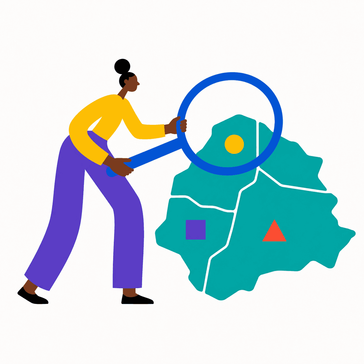
Overlay your KPIs onto regional maps to identify high-performing zones versus under-served areas.
Target Audience
Who is this for?
Operations Leaders
Optimizing resource allocation and logistics across complex regional territories.
FMCG Manufacturers
Tracking distribution networks, regional demand, and supply chain bottlenecks.
Large-Scale NGOs
Monitoring field interventions and assessing vulnerabilities in remote geographic zones.